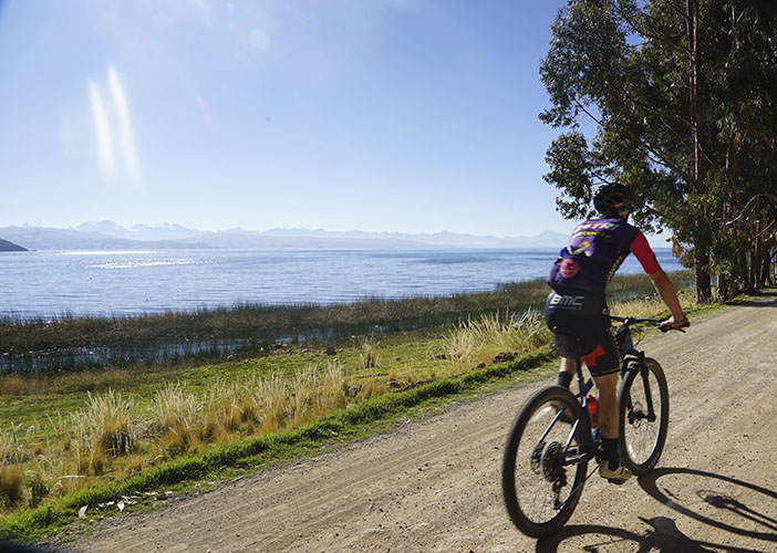
Final stage by the lake, similar to the previous day but on mountain bikes. About fifty kilometers along the bumpy roads and paths of the peninsula.
Today's stage begins with a gradual ascent on a paved road, leading to the ridges, from where the view is splendid. We arrive at a viewpoint where, when the weather is clear, we can see almost all of Bolivia's 6,000 peaks, not only those of the Royal Mountain Range but also Apolobamba and, in the distance, the volcanoes of Sajama National Park. We divert onto a trail, follow part of the lake, climb the ridges, and return to Tiquina via a lovely dusty track.
As in the previous stage, there is nothing technical, but be prepared, as the entire stage takes place at over 3,800 meters above sea level.